(Geo) Data
The foundation of Munich’s Digital Twin consists of municipal geospatial base data, such as the official cadastre, aerial imagery, and street-level survey data. In addition to 2D data, this includes 3D data that is continuously captured and updated. City-wide mobile mapping and aerial imaging campaigns are conducted regularly to ensure the currency and quality of the data foundation. These photo-based captures subsequently serve to create further—specifically logical—data layers. This process strengthens the data sovereignty of the State Capital of Munich.
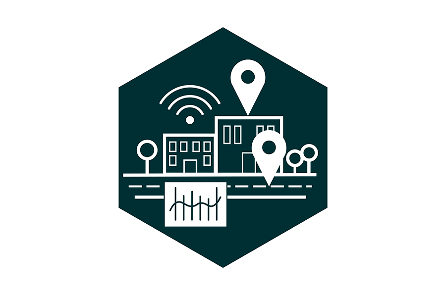
Depending on the specific use case, thematic data from across the entire municipal organization supplements the geo data with necessary domain-specific information. This includes the integration of sensor data capable of providing real-time and time-series data as needed—for instance, in the context of climate adaptation, where metrics such as weather data, groundwater levels, and air pollutants are measured in real time. Unified data governance guidelines ensure data quality and data protection, while also defining roles and responsibilities.
Combined with the digital ecosystem, this geospatial base and thematic data creates a digital replica of the real city.