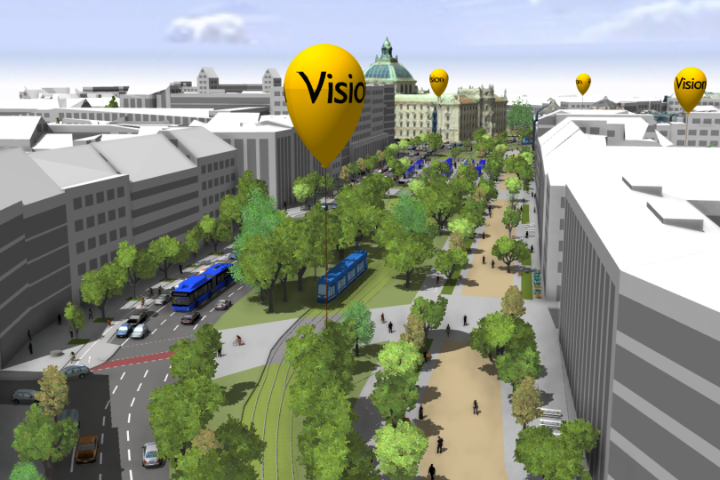
The lane model contains the entire road system of Munich in a simulation-enabled data structure.
The lane model depicts Munich's public roads including lanes and turning options, in great detail based on the Road2Simulation guidelines of the DLR (German Aerospace Center). In addition to the geometry, the data contains semantic information such as the type of use per lane, the maximum speed or the turning options at intersections. The structure is based on common data standards and StVO requirements and considers all possible road users. The lane model is based on the city's geospatial data and is compatible with existing data sets. In addition to the Digital Twin Munich datasets, other datasets such as traffic signal heads are also included. A wide range of road traffic applications can be covered due to the level of detail and the size of the dataset.


