Development of a city-wide network for control points
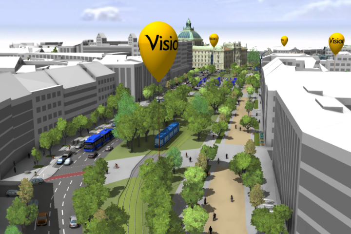
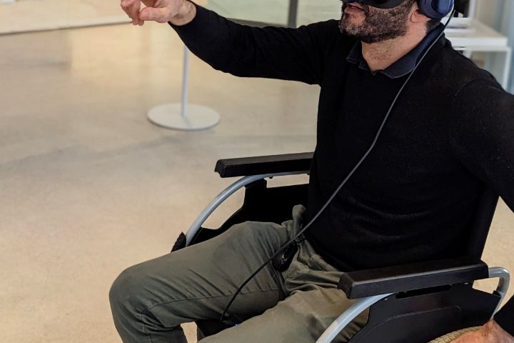
Result of the project Digital Twin Munich as part of the funding guideline "Digitalization of Municipal Transport Systems" by the Federal Ministry of Transport and Digital Infrastructure.

Result of the project Digital Twin Munich as part of the funding guideline "Digitalization of Municipal Transport Systems" by the Federal Ministry of Transport and Digital Infrastructure.