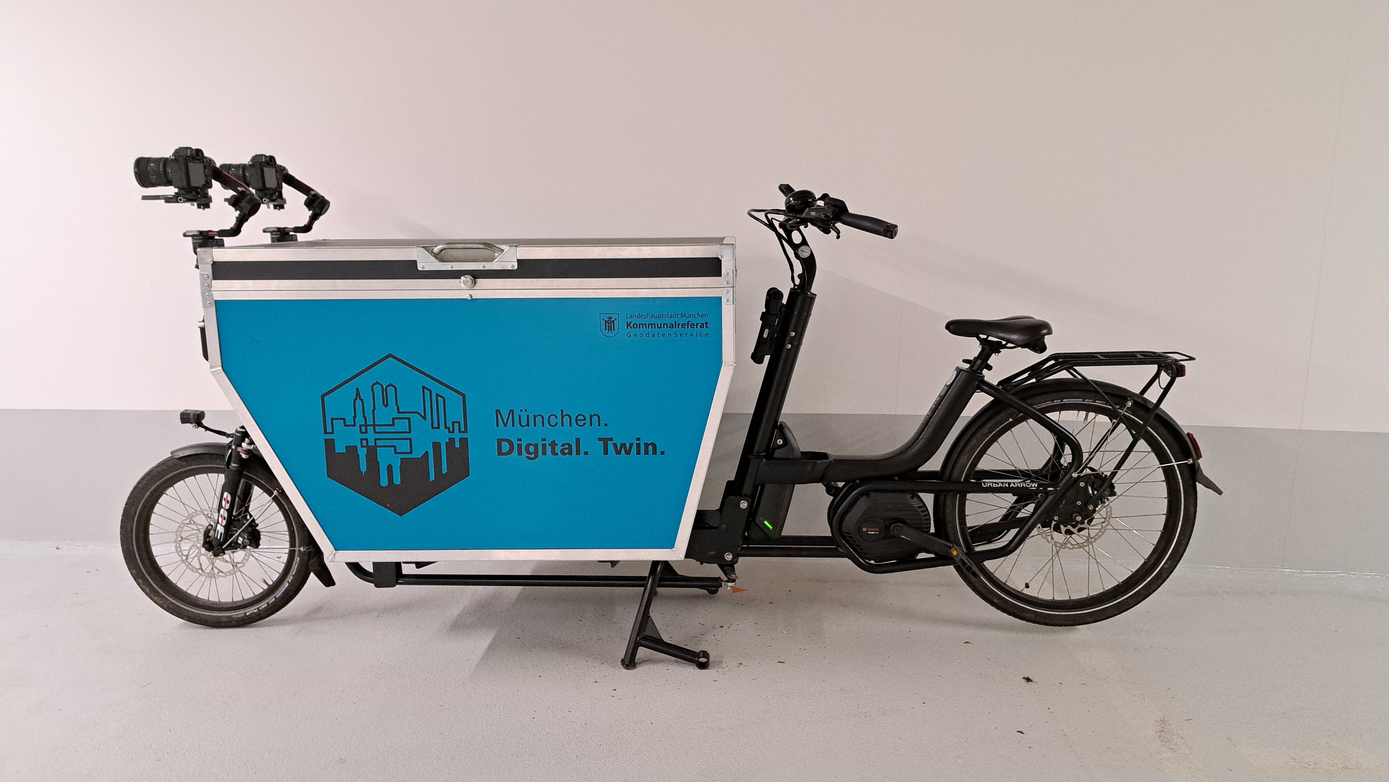
The concept of the Mapping Bike was developed in collaboration with the Technical University of Munich (TUM) to record changes in road construction and to complement drone-based data collection.
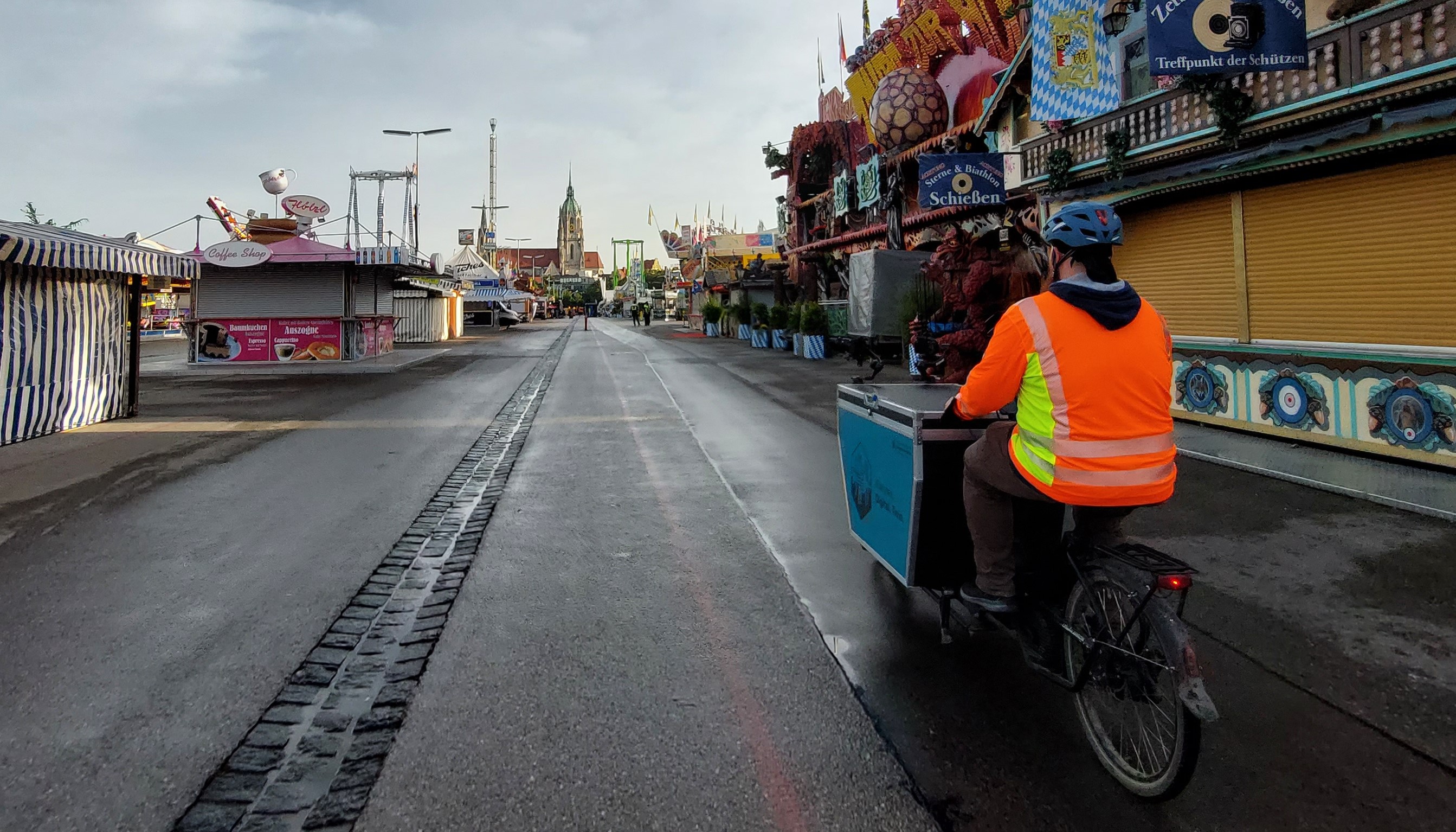
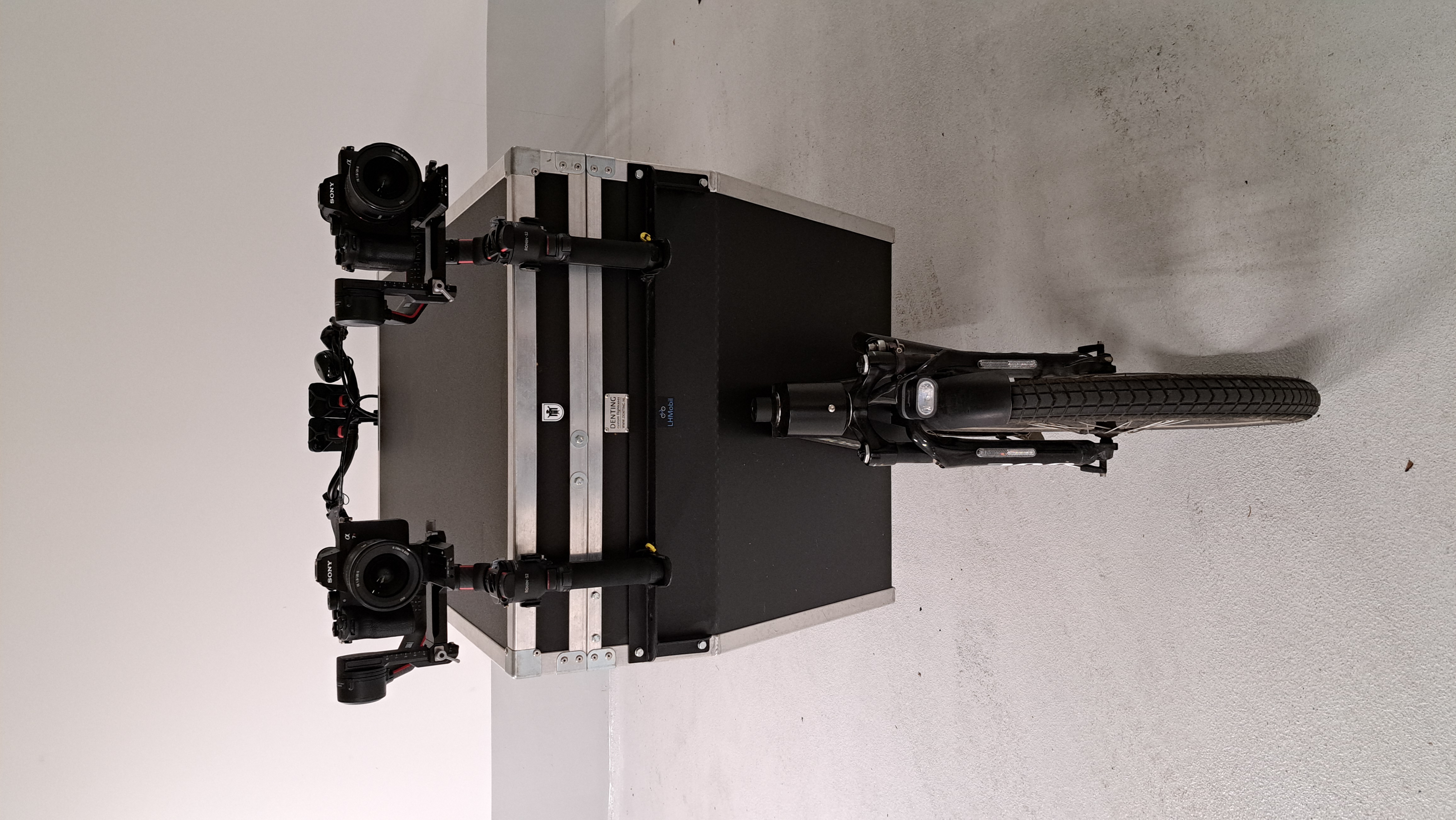
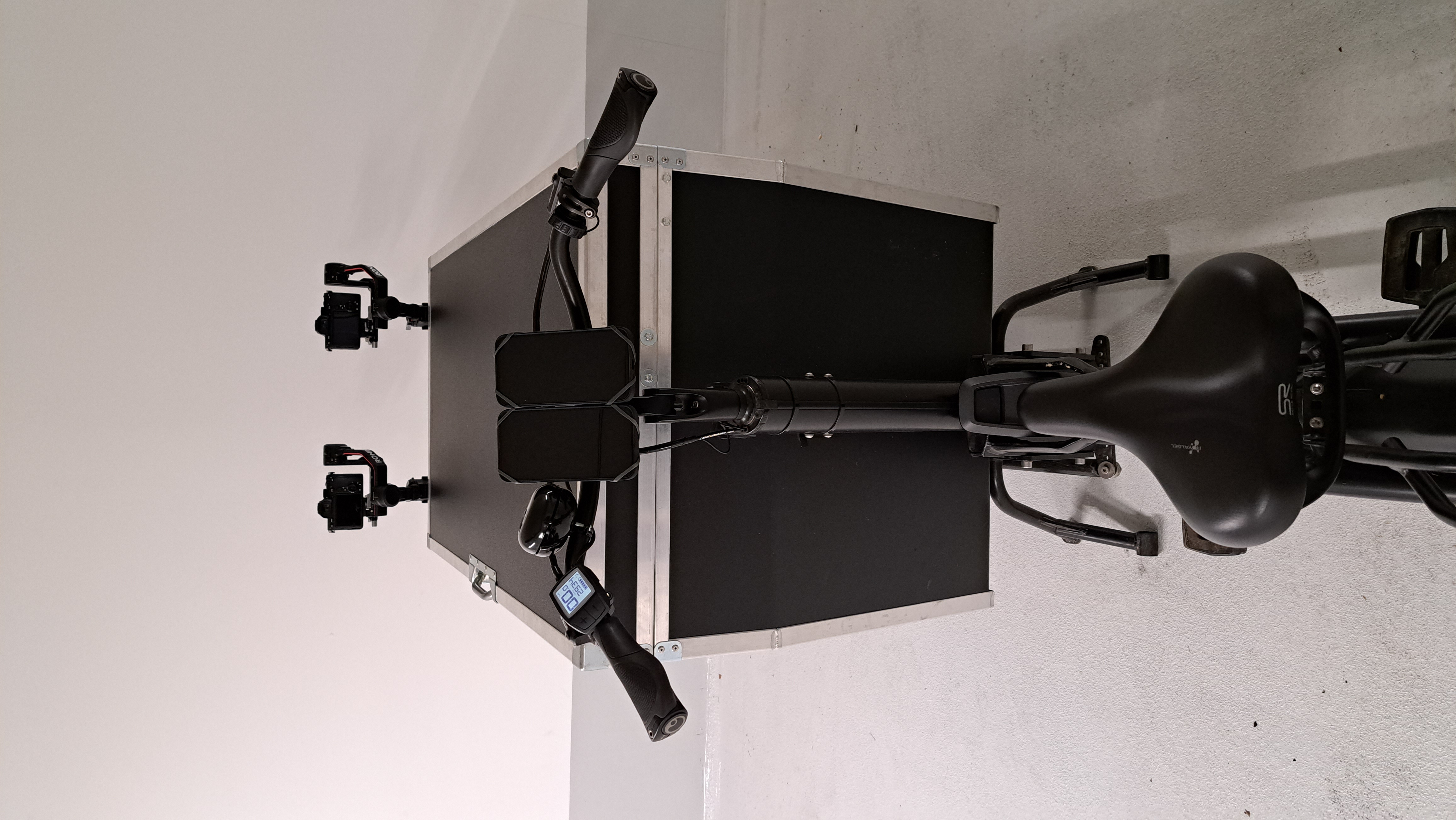
Changes in urban streetscape are very dynamic which makes it difficult to record. The Mapping Bike, developed in collaboration with TUM, offers a potential solution for this issue. Small-scale updates support the mobile mapping and keep it up to date. Equipped with two cameras, the Mapping Bike records the road while driving. Each camera is mounted on a gimbal (see pictures in the gallery), which compensates for the movements that occur while driving, thus guaranteeing horizontally aligned images. By overlapping the images and together with exact GPS-supported geolocation, a photogrammetric 3D scene can be produced and made available as a visualization. Extremely high-resolution and realistic 3D mesh models can be generated, when the data from the Mapping Bike is combined with the drone-based data collection. Additionally, a mobile mapping system has been developed for updating the base map of the city. Primarily, this holistic approach focused on the question as to how information of construction measures can be provided quickly, in order to then update the on-site situation with the new recordings from the Mapping Bike.


